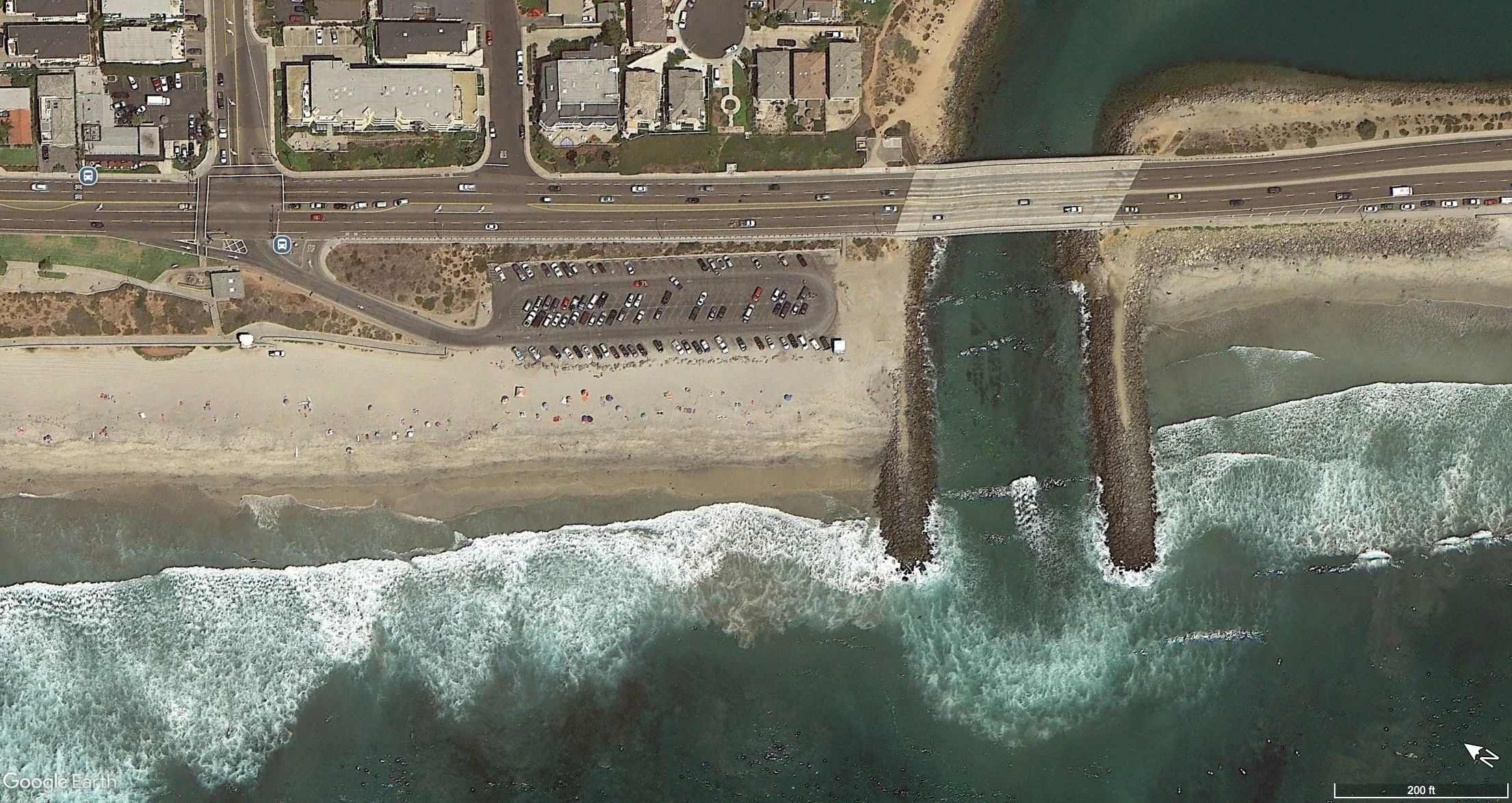
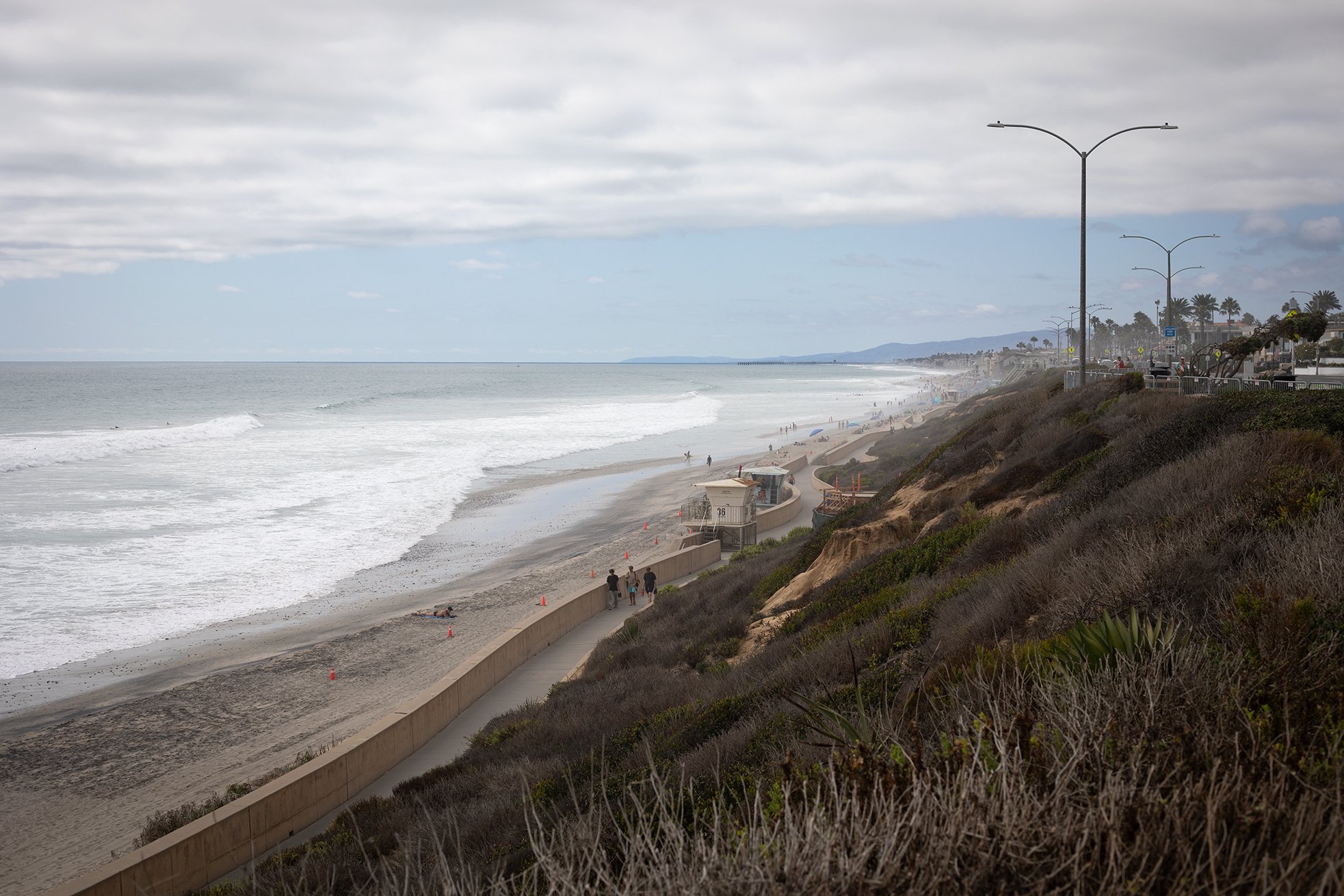
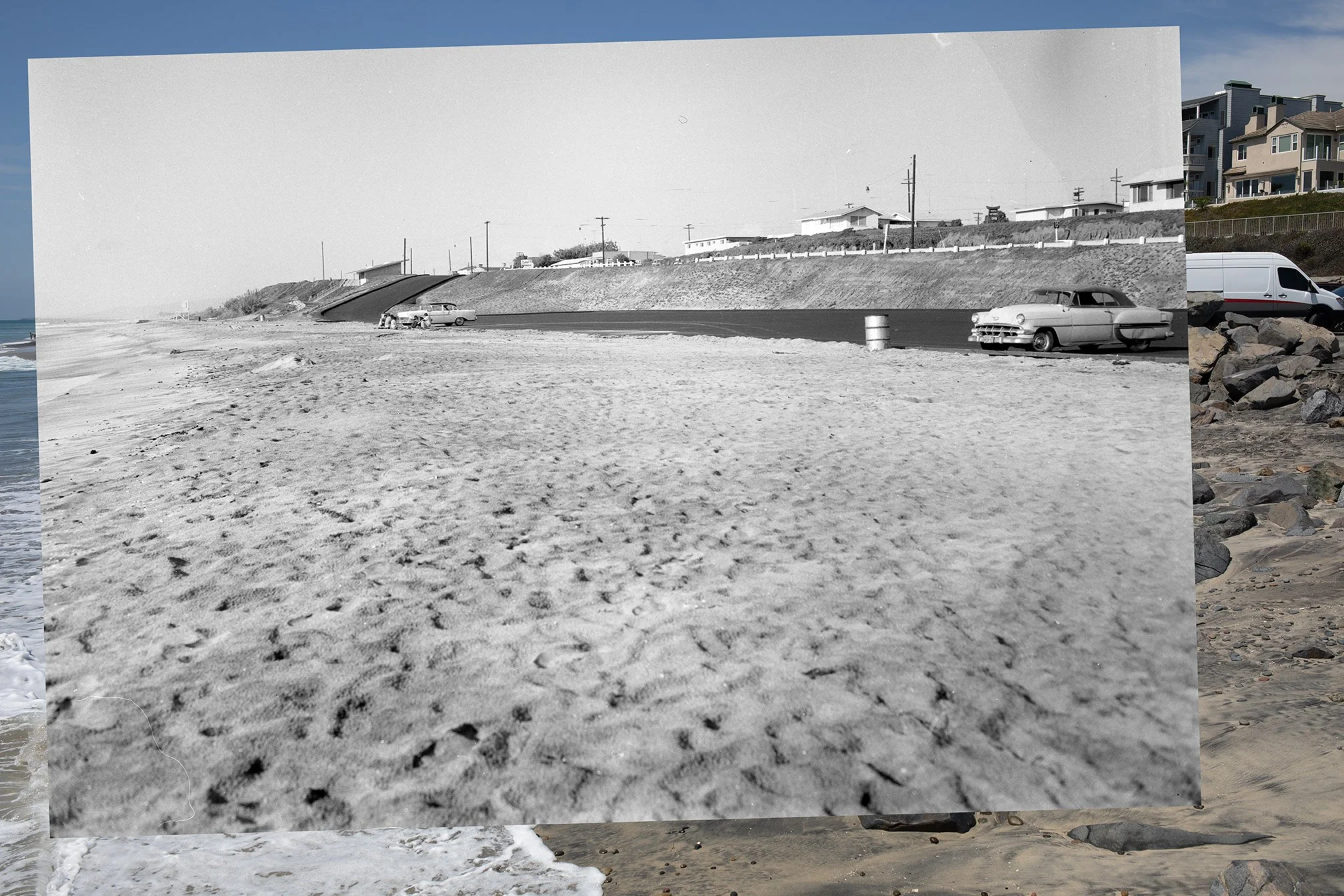
Here’s a follow up to my last post about sand loss at Tamarack. The Google Earth image above is from August 2026. Now here’s how the Tamarack looked in August 2019:
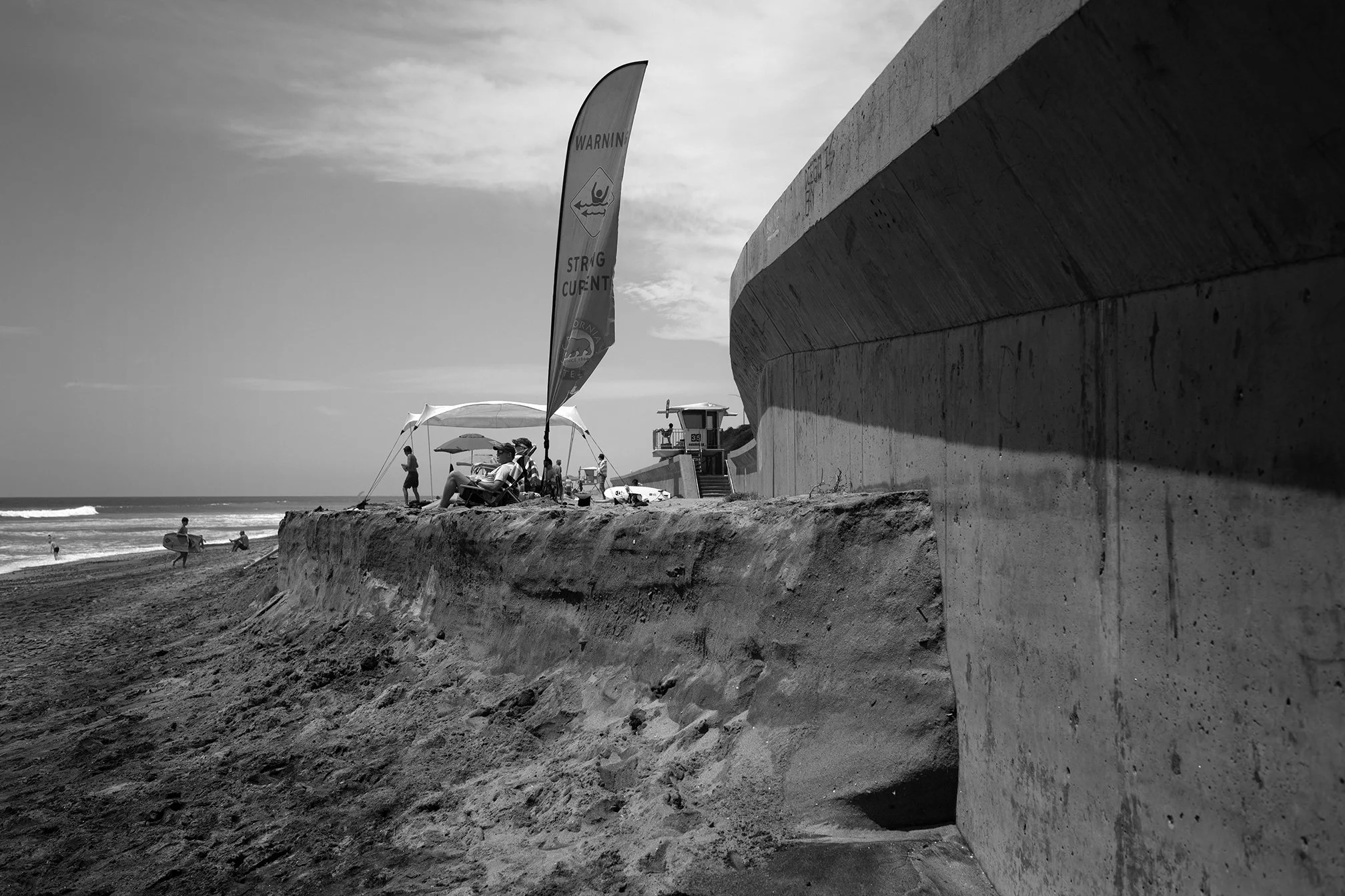
Read MoreThis photo shows the Carlsbad seawall and beach a couple weeks ago. The beach had lost a lot of sand due to recent high tides and south swells. Here’s what the sand loss looked like down on the beach:
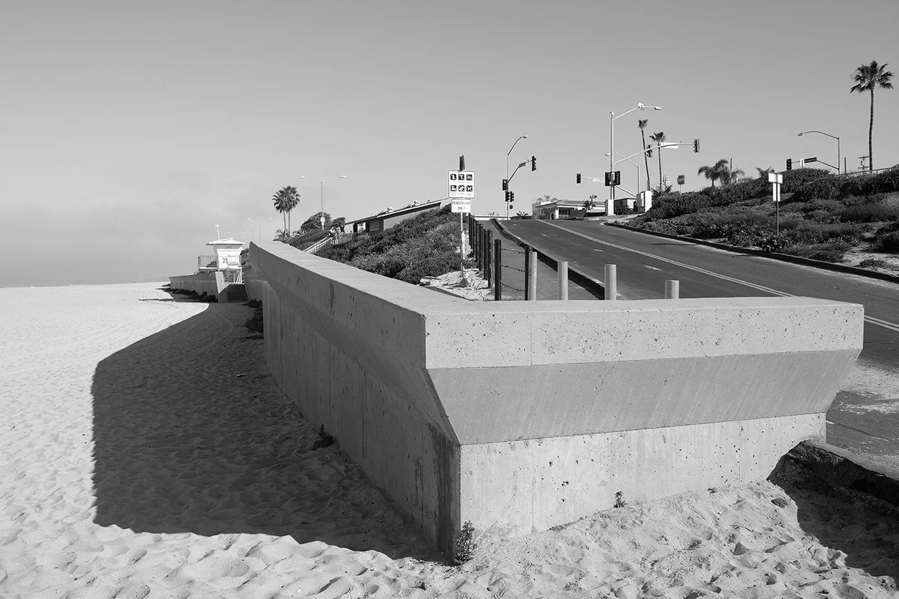
Read MoreI took the photograph above back in March 2018 at Tamarack. That was when the beach was full of sand after a relatively recent replenishment. I went back to the same spot during my most recent trip. I couldn’t take a photo from the same location because the sand where I was standing in 2018 was gone. Here’s what things looked like in 2026:
Read MoreHere’s another photo from my recent trip down the Southern California. I headed down in part because my old home beach of Tamarack was in the news. Check out some of the coverage via the SF Gate here, and NBC7 here.
Long story short, high tides and large waves from a summer south swell swept a lot of sand off the beach at Tamarack. It also undermined the riprap that was protecting the parking lot. In some of the coverage, people express concern about the loss of sand from the beach. Others say that this is how the beach actually used to look years ago.
Read MoreYou never know when or how new research will begin. Let alone how you're going to do it. That's why it's always good to take notes...and photographs.
In March 2012, when I was in the middle of my doctoral work in Cabo Pulmo, I just happened to map the coastal profile of a nearby beach (known as "Los Frailes"). It's a long, sandy stretch of beach that curves around a small bay. I walked along the edge of the waterline with a small hand-held GPS unit and mapped the profile. I'm still not sure why I did it; I just decided to map it. By chance, the very next week, a huge section of that same beach collapsed into the ocean. As it turns out, there's a deep underwater canyon that runs right up to the shore. That morning I heard several reports about the beach collapse, so I raced over to check it out with a few friends. About 120 meters of the beach--the same place where I'd walked and mapped the week before--had just fallen into the ocean. I re-mapped the coast, took some photographs, and archived it in my memory bank as something to keep in mind…
Read More