• Projects
  • About
  • Publications
  • Blog
Menu

ryan b. anderson

Anthropology & Photography
  • Projects
  • About
  • Publications
  • Blog

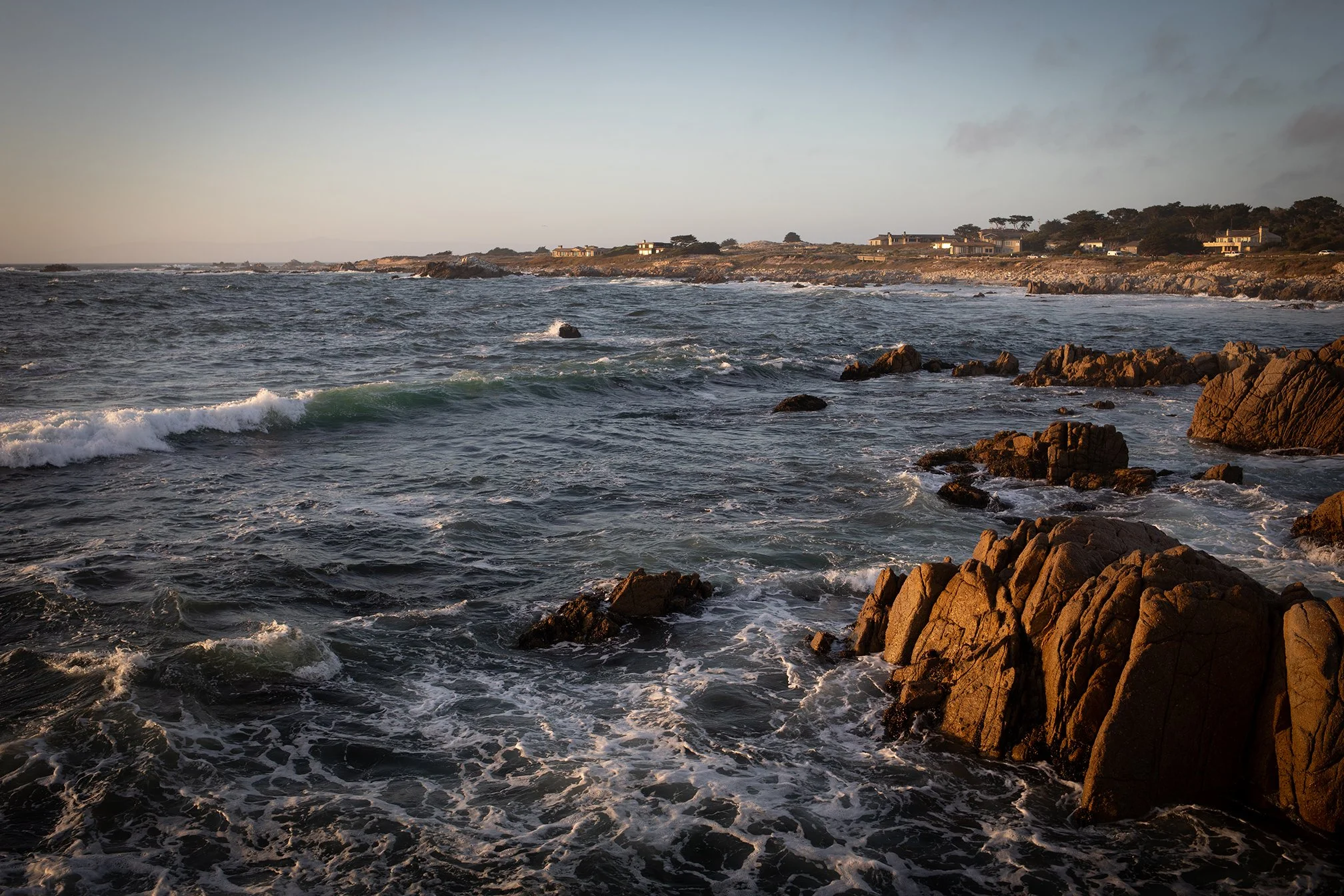
Photo: Ryan B. Anderson (2026).

Asilomar coast from "Rocky Beach" (2026)

November 22, 2026

This one was taken at the end of July, 2026. It’s from one of our favorite spots along the Asilomar shoreline. There’s a rocky lookout spot that’s easy to climb, and it has great views of the coast (plus lots of otters out in the water).

Carlsbad coast, south of Terramar (2019) →

Latest Posts

Featured
20260729-444A7645-web.jpg
November 22, 2026
Asilomar coast from "Rocky Beach" (2026)
November 22, 2026
Read more →
November 22, 2026
3A1A7315-BW-1-small.jpg
November 18, 2026
Carlsbad coast, south of Terramar (2019)
November 18, 2026
Read more →
November 18, 2026
More sand loss at Tamarack
August 29, 2026
More sand loss at Tamarack
August 29, 2026

Here’s a follow up to my last post about sand loss at Tamarack. The Google Earth image above is from August 2026. Now here’s how the Tamarack looked in August 2019:

Read more →
August 29, 2026
Beach sand loss in Carlsbad, California
August 29, 2026
Beach sand loss in Carlsbad, California
August 29, 2026

This photo shows the Carlsbad seawall and beach a couple weeks ago. The beach had lost a lot of sand due to recent high tides and south swells. Here’s what the sand loss looked like down on the beach:

Read more →
August 29, 2026
Sand Replenishment, Carlsbad 2018
August 28, 2026
Sand Replenishment, Carlsbad 2018
August 28, 2026
Read more →
August 28, 2026
Big Sur Lookout 1990 (Where it all began)
August 27, 2026
Big Sur Lookout 1990 (Where it all began)
August 27, 2026

This is the very first photograph that I remember taking in any kind of deliberate sense. I was on a road trip with my mother when I was about 15 years old, so this would have been in 1990. This was taken at a lookout spot just south of Alder Creek. I was using my mother’s Pentax ME-Super with either a 35mm or 50mm lens. This looks more like the 50mm to me. It’s not a particularly sharp image. I was hand-holding the camera and had no idea about things like shutter speed and camera shake. But, looking back, this is basically one photo that I have been basically taking over and over again for decades. Water, headland, coast. Here’s what this spot is looking like more recently, via Google maps:

Read more →
August 27, 2026
Sand loss at Tamarack
August 26, 2026
Sand loss at Tamarack
August 26, 2026

Sometimes it’s a little hard to judge sand loss at a given location. With the sand loss event at Tamarack in Carlsbad this past month, what effectively happened was the return to how the sand and beach looked before the extensive sand replenishment that started in the early 2000s. The image above, which was taken before the seawall was constructed in the late 1980s, shows the beach and parking lot. Notice that the parking lot was already protected by riprap at this time. Here’s another image from after the seawall was constructed (circa late 1980s to early 1990s):

Read more →
August 26, 2026
3A1A7393-The Strand Oside-web.jpg
August 26, 2026
Oceanside Strand in 2019
August 26, 2026
Read more →
August 26, 2026
20260812-444A7730-2BW-web.jpg
August 23, 2026
Tamarack erosion and seawall
August 23, 2026
Read more →
August 23, 2026
Erosion and sand loss at Tamarack State Beach
August 23, 2026
Erosion and sand loss at Tamarack State Beach
August 23, 2026

I took the photograph above back in March 2018 at Tamarack. That was when the beach was full of sand after a relatively recent replenishment. I went back to the same spot during my most recent trip. I couldn’t take a photo from the same location because the sand where I was standing in 2018 was gone. Here’s what things looked like in 2026:

Read more →
August 23, 2026

Powered by Squarespace