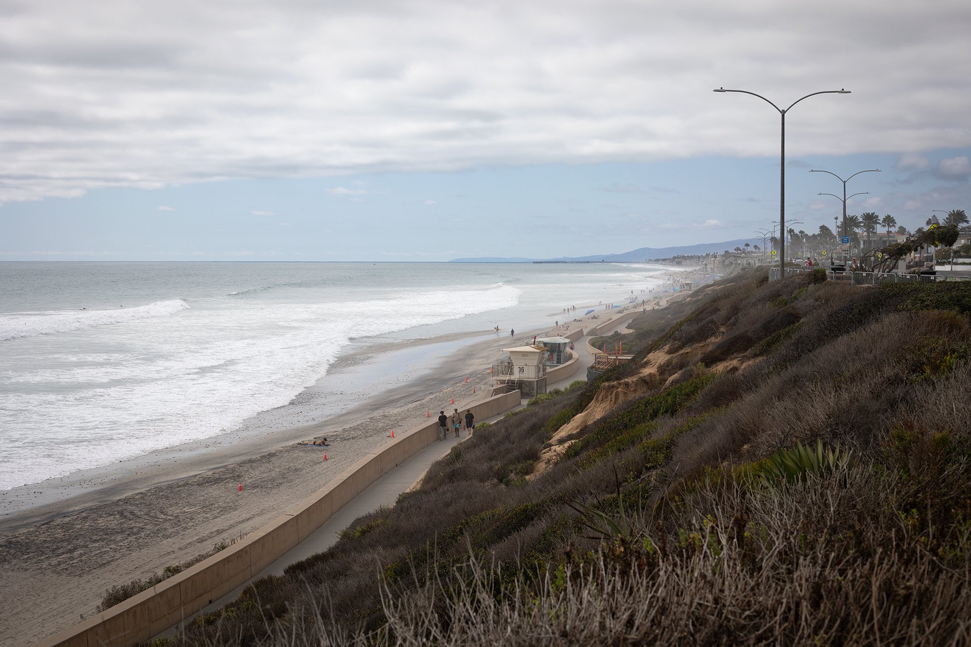
This photo shows the Carlsbad seawall and beach a couple weeks ago. The beach had lost a lot of sand due to recent high tides and south swells. Here’s what the sand loss looked like down on the beach:
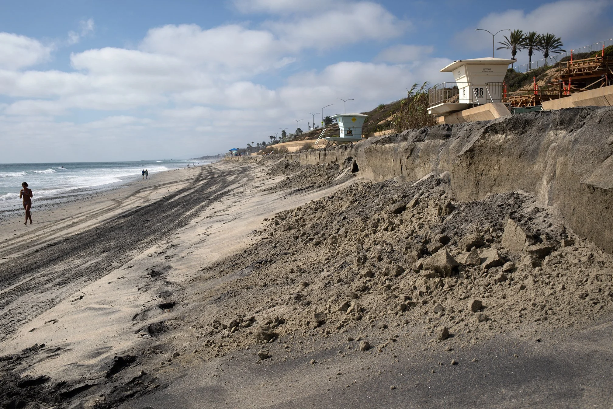
Escarpment from beach sand loss, Carlsbad California. This is one again the beach at the end of Cherry Avenue. Photo by Ryan B. Anderson.
Even with these two views, it’s hard to actually see the changes that have taken place. The City of Carlsbad has been pumping a lot of sand onto its shores since the early 2000s, resulting much wider beaches. Here’s what the beach at Cherry Avenue looked like in August 2010:
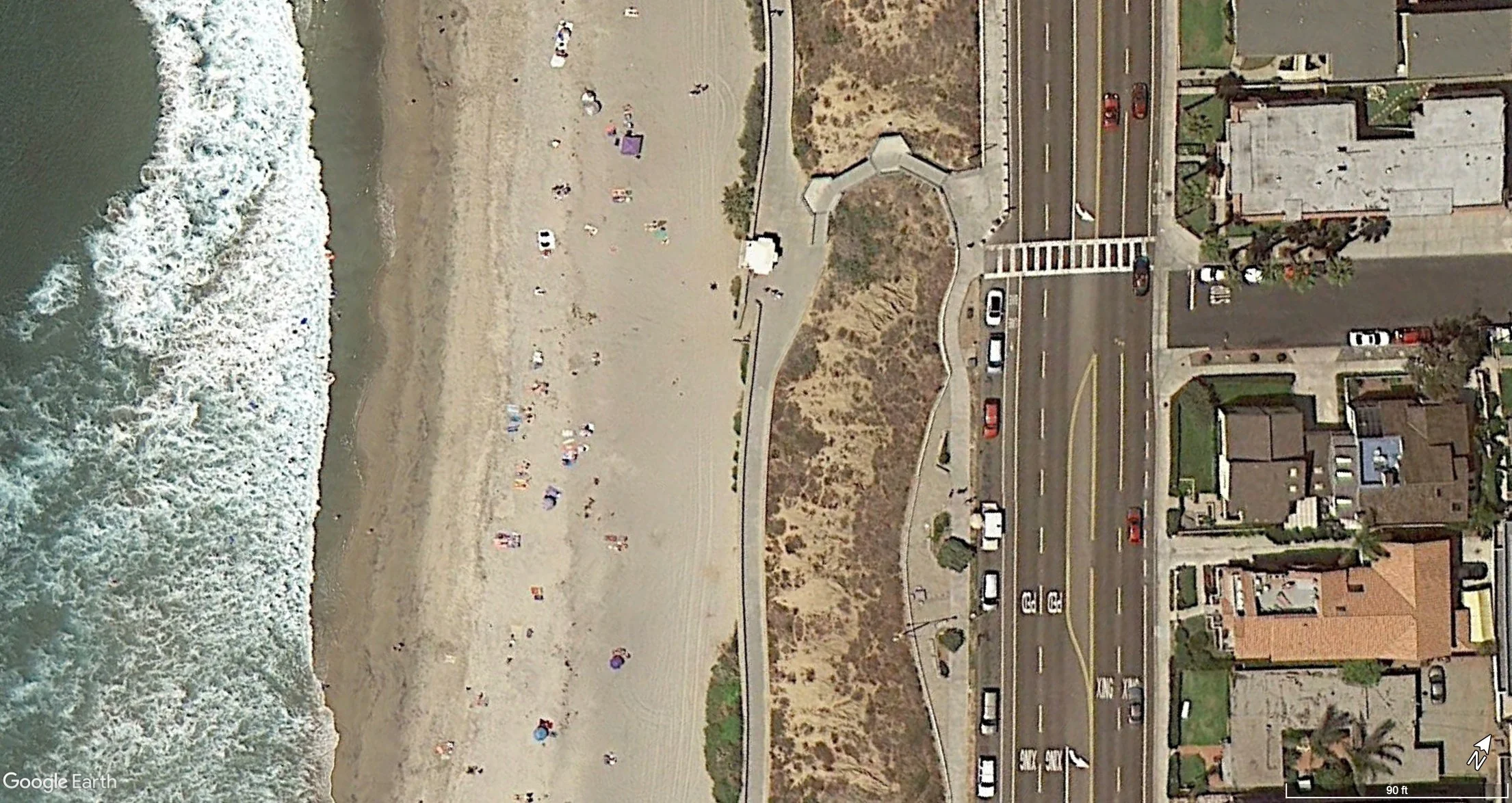
Google Earth image of the beach at Cherry Avenue in Carlsbad. August 2010.
Here’s what the same spot looked like in August 2021:
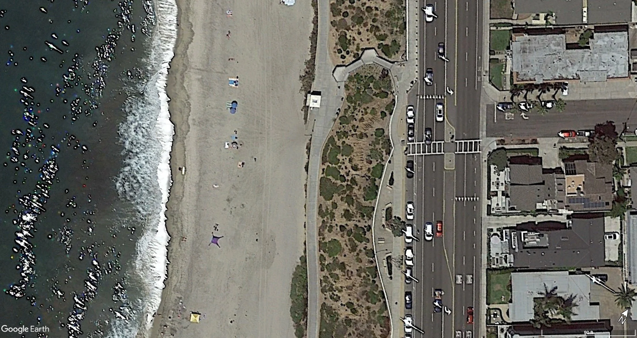
Google Earth image of the beach at Cherry Avenue in Carlsbad. August 2021.
Finally, here’s how it looked in August 2026 (Google Earth took these images right on time to capture the recent sand loss):
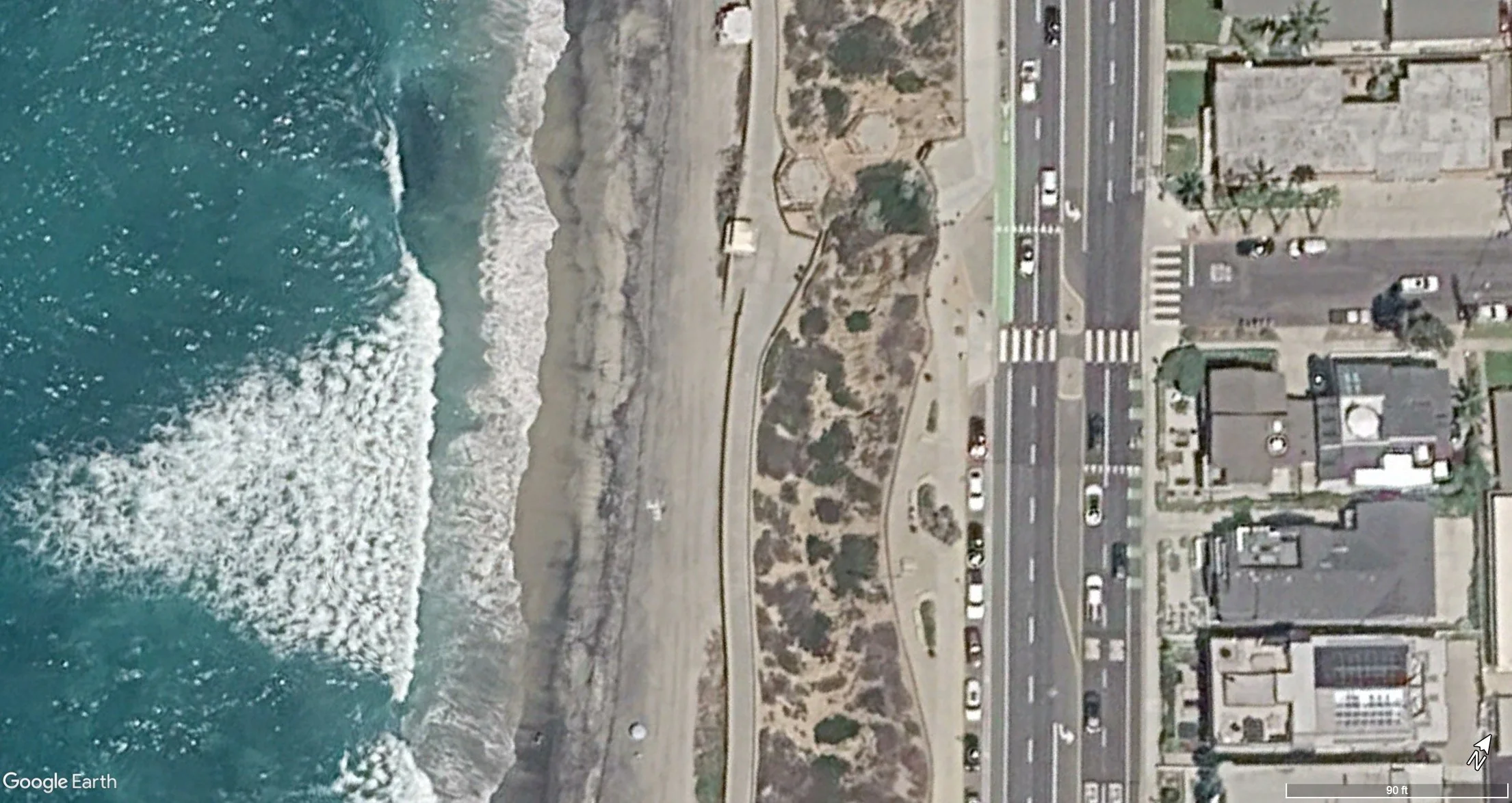
Google Earth image of the beach at Cherry Avenue in Carlsbad. August 2026.