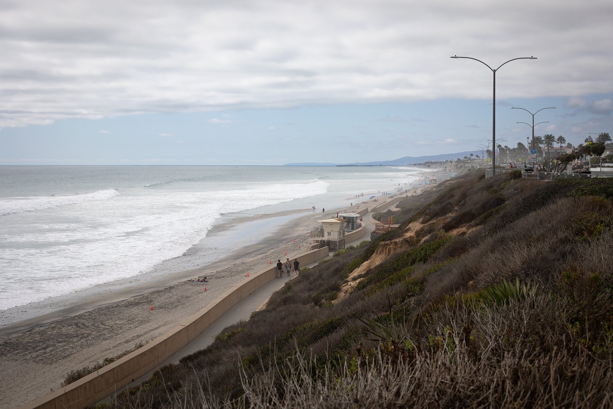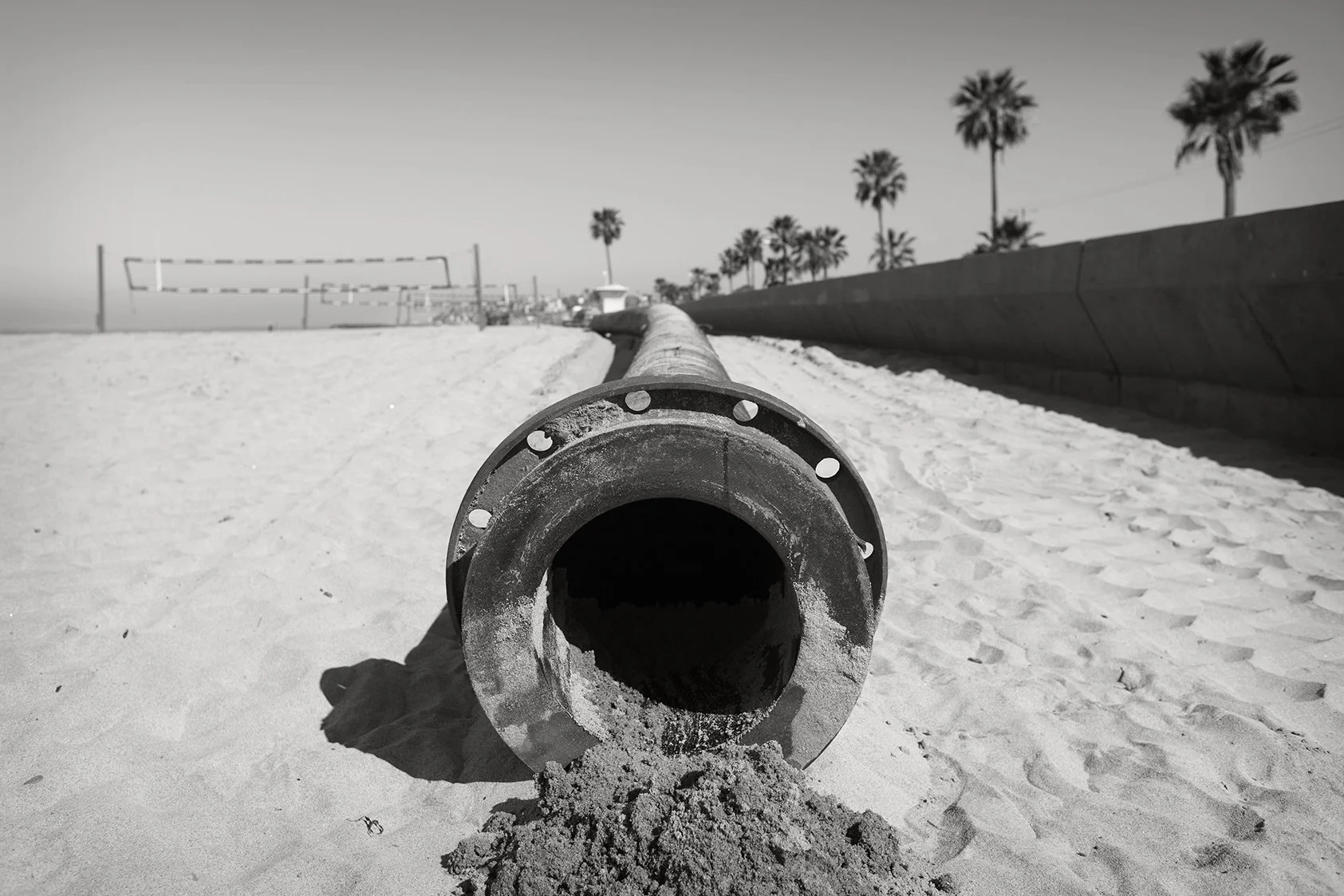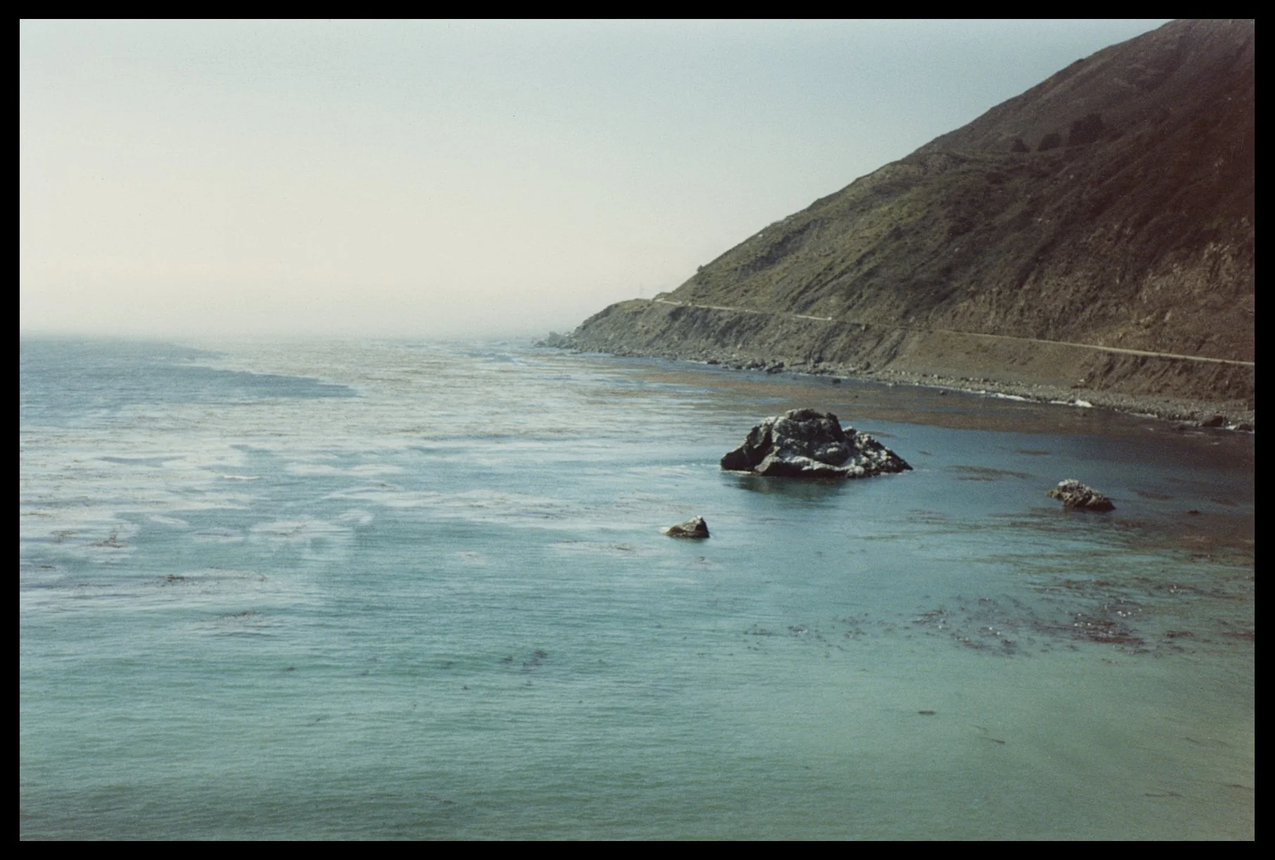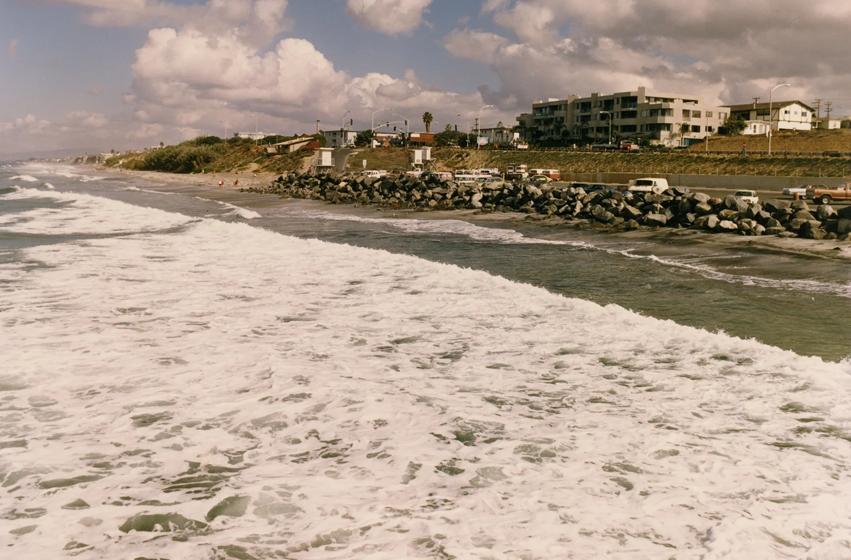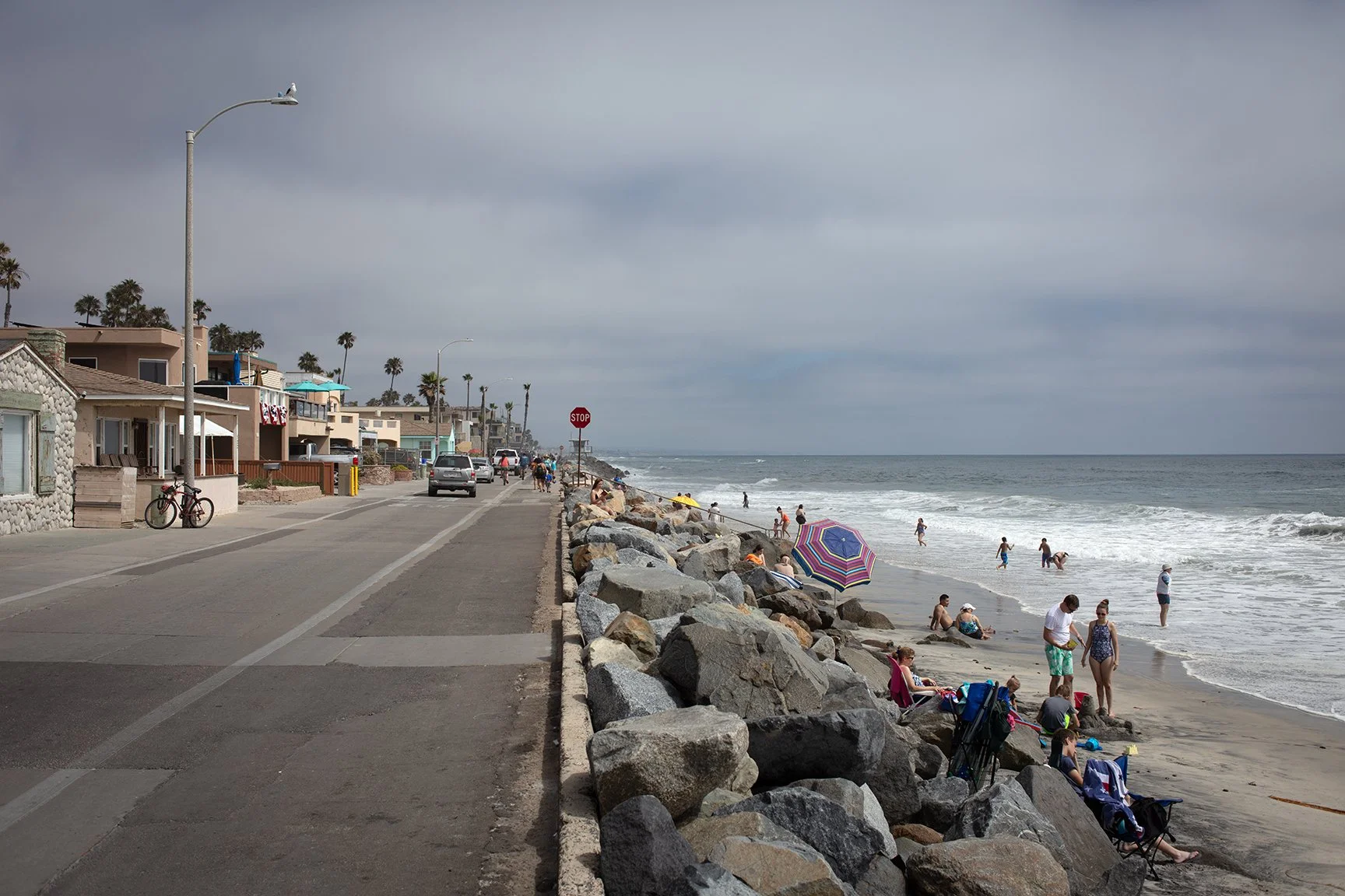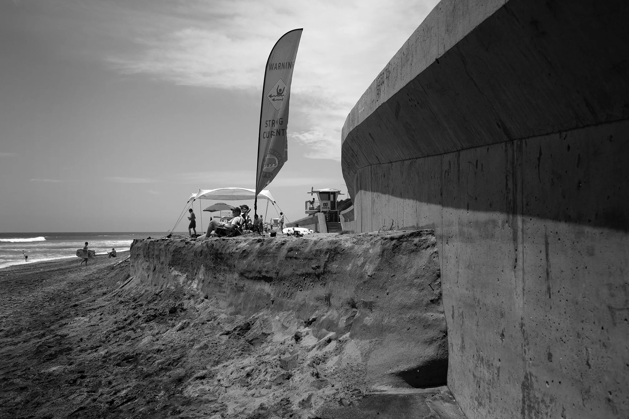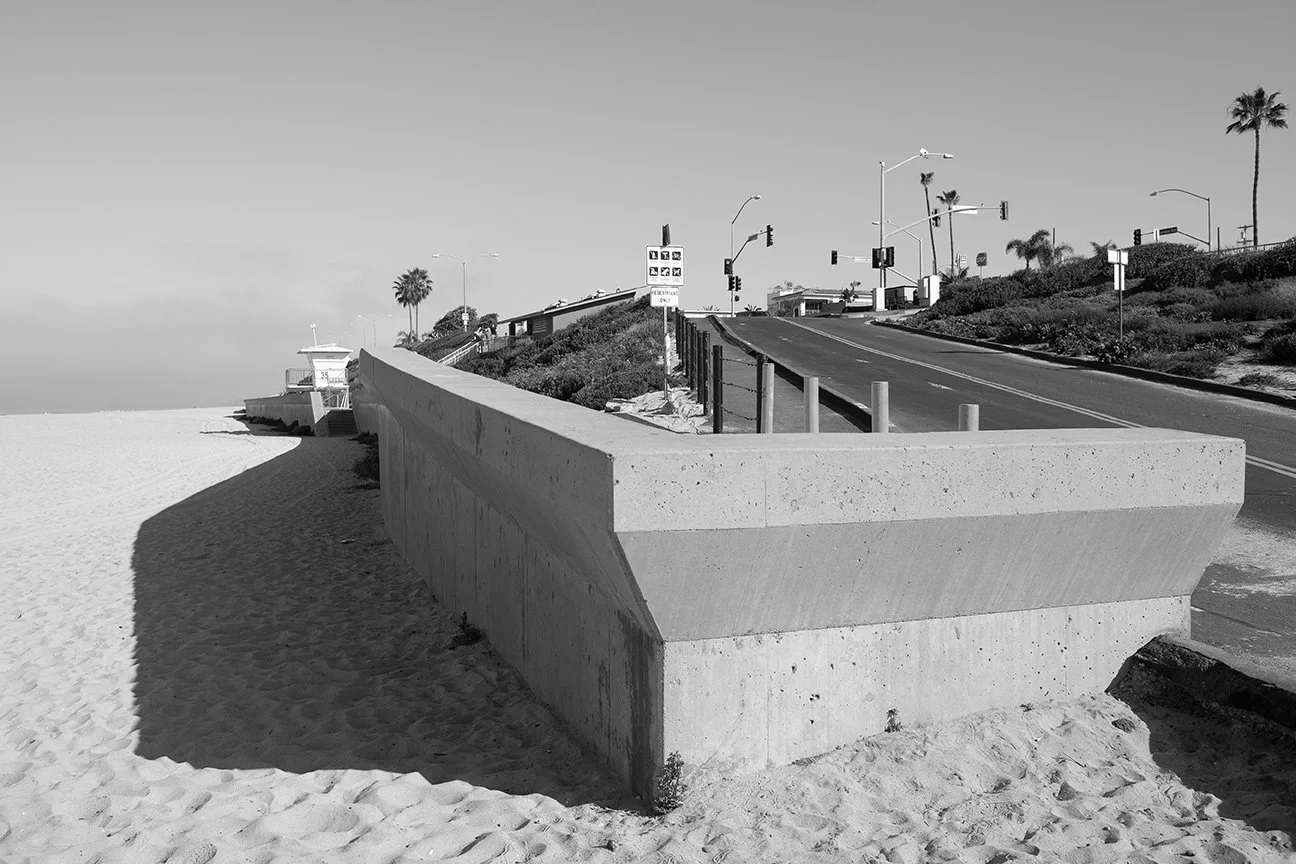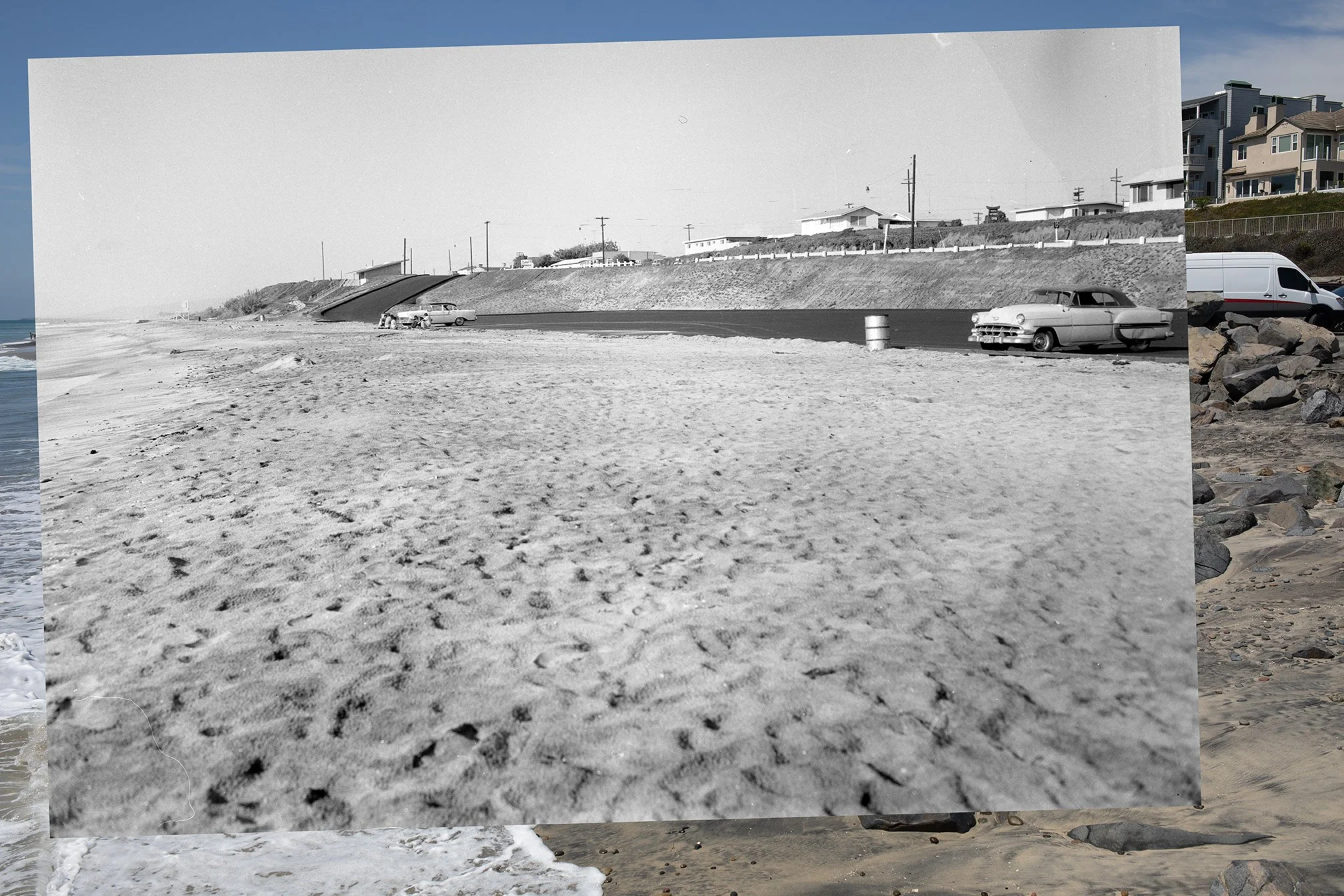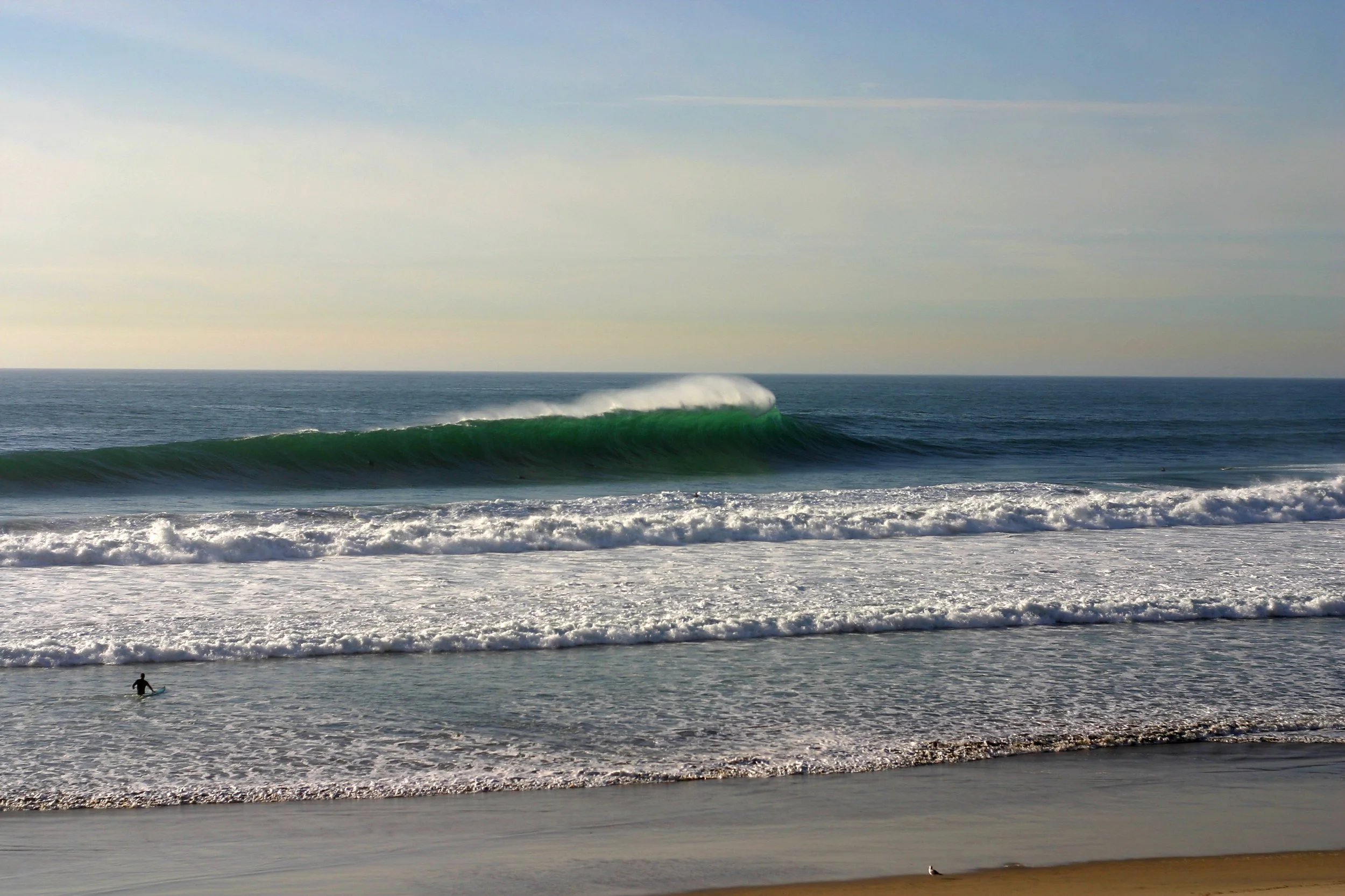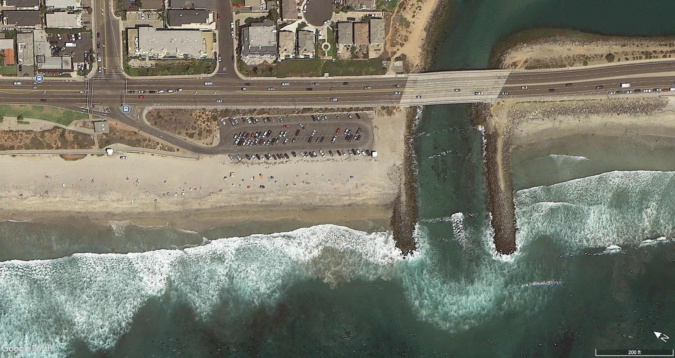
Black’s Beach on a big day back in December 2005. Taken with a Canon 10D.
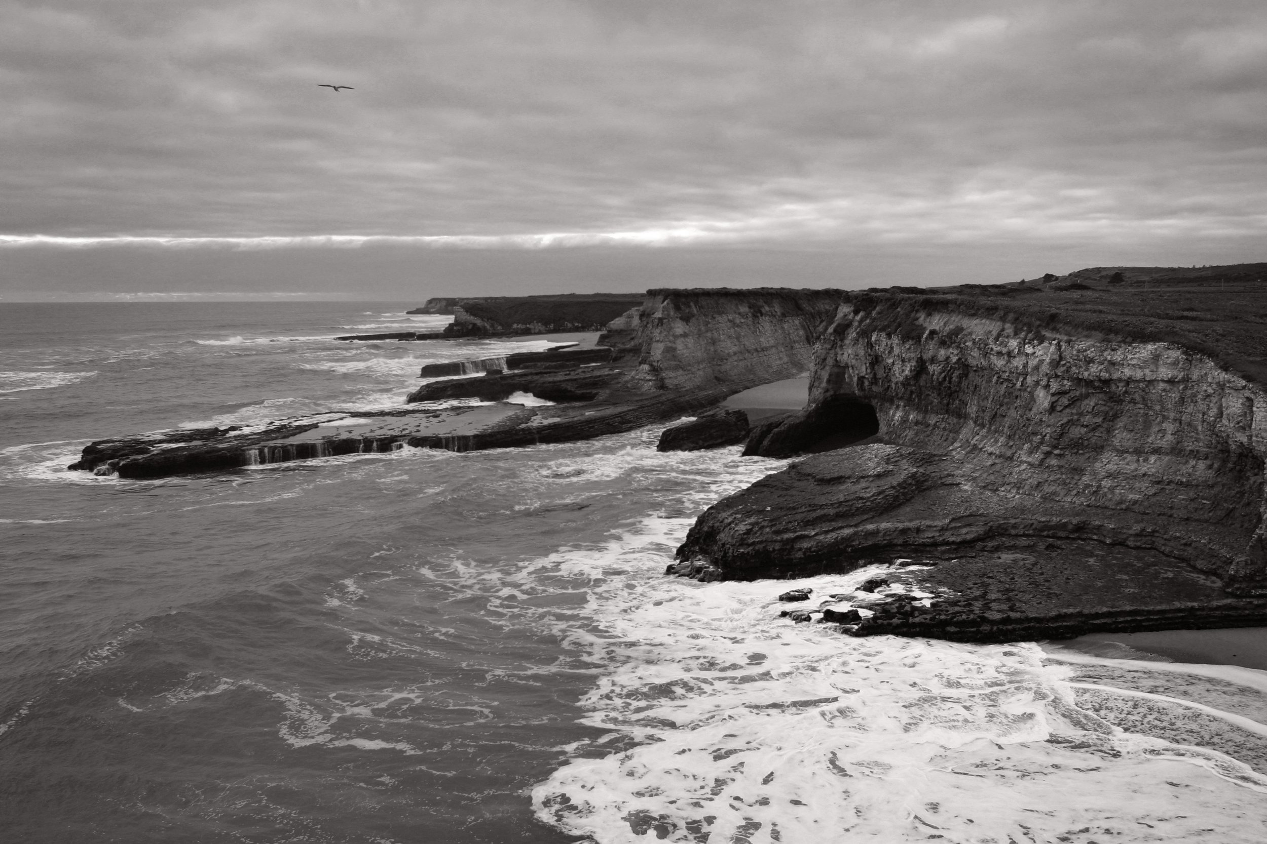
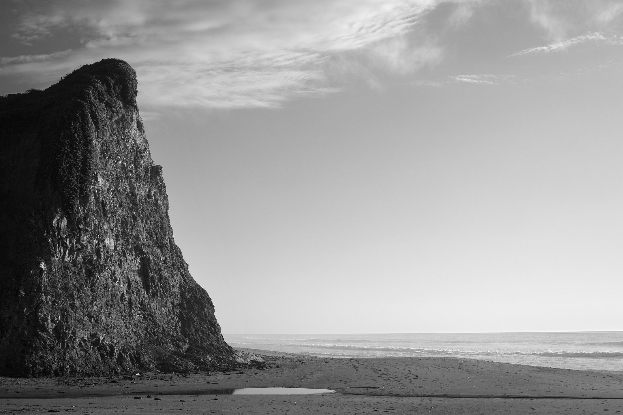
Wilder Ranch, 2005.
Wilder Ranch in 2005
Taken back in February 2005 at Wilder Ranch. I was using my first digital camera, which was a Canon 10D.
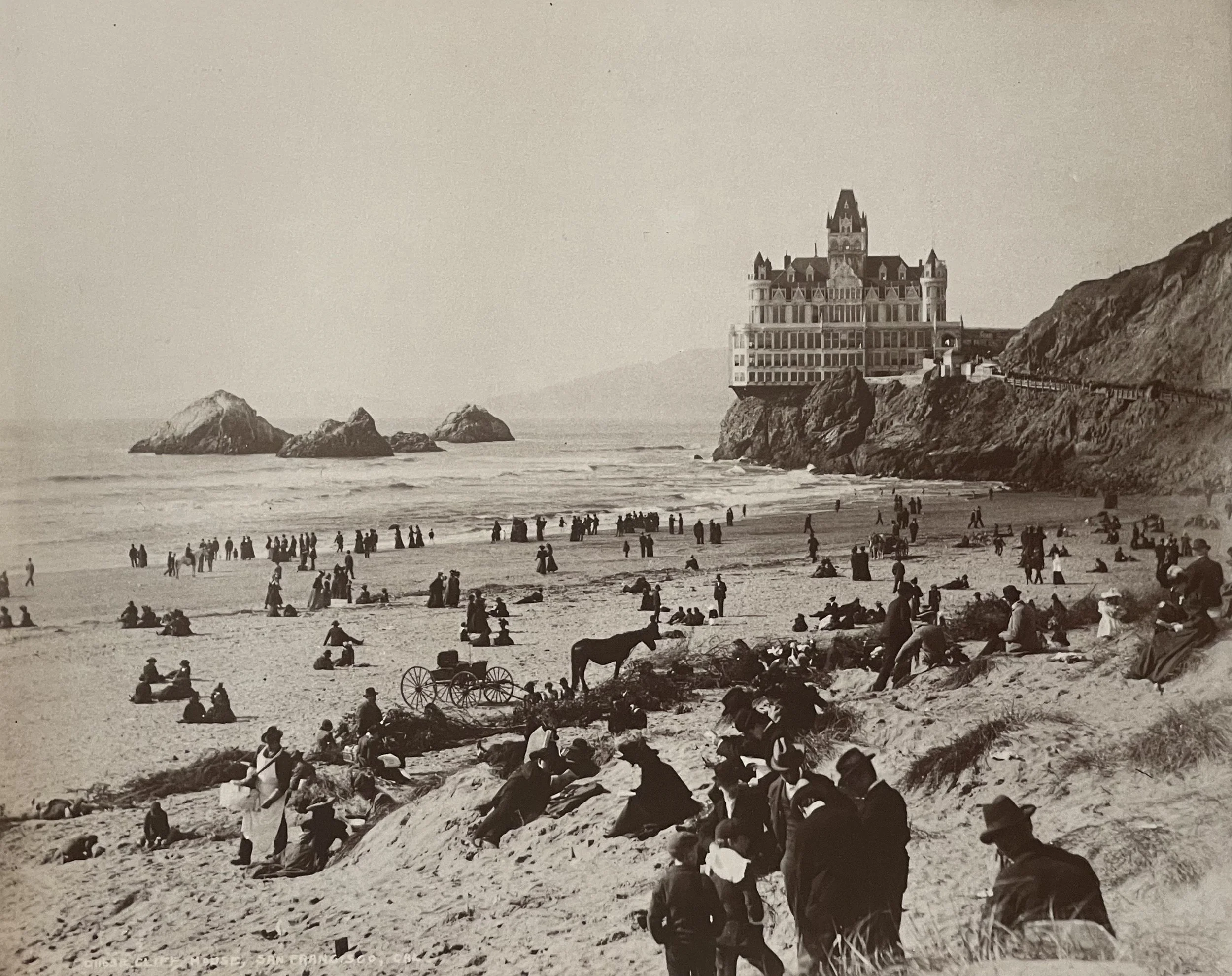
Cliff House, San Francisco, California by William Henry Jackson.
The Cliff House in SF
Here’s another spot I’d like to rephotograph up at Ocean Beach in San Francisco. The photograph above was taken by William Henry Jackson between 1880 and 1910. It’s from the 1974 monograph of Jackson’s work that was edited by Beaumont Newhall and Diana E. Adkins (published by Morgan & Morgan). This is the second Cliff House, so it had to be taken after 1896.
Read MoreLocation Scouting: Lover's Point, Pacific Grove CA
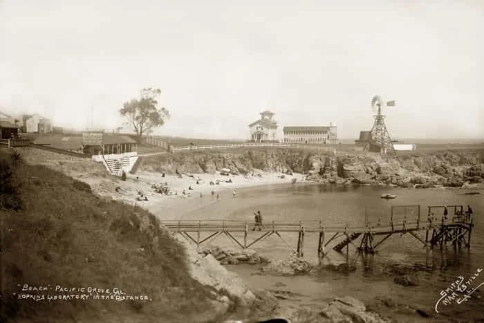
File this one under early modifications of the California coast. People have been finding ways to alter and modify the shoreline for a long time. Here’s an example from Pacific Grove, California. The photo above shows Lovers Point Beach in 1903, taken by Clara Sheldon Smith (via the Hathaway Collection). Notice the wooden “wharf” in the foreground. This is the second wharf, which was built in 1897 by a guy named William Hatch (see the Pacific Grove Historical Context statement). Apparently Hatch blasted rocks from the beach and cliffs to build the new wharf. The first wharf was built in 1890 but it was destroyed by storms within just a few years. This fits the general story of construction, destruction, and reconstruction up and down the coast.
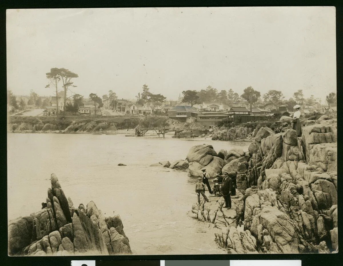
Here’s another image of Lover’s Point from 1910, taken from a different direction. This was taken by M. Rieder (via USC’s Calisphere archive):
1910 photograph of Lover’s Point by M. Rieder. Here’s the description via Calisphere: “Photograph of a view of Pacific Grove, Monterey, from Lover's Point, ca.1910. Several people look onto the water at left from the rounded rocks on the right. A few boys fish while a man in a suit points towards the left. A woman in a dress and hat stands at top on the far right. A town of buildings, houses, and tree-lined streets stands on the far bank in the background.”
I was down in Pacific Grove last week and had a chance to see Lover’s Point briefly. There’s a concrete pier/boat launch structure that was added at some point after the two wharves—I need to look into those histories a bit more. I didn’t get a chance to photograph it because I was busy…chasing two kids around. I’ll have to get some photos next time we’re down that way. This is another good candidate for the coastal rephotographic project, since there’s a number of historical images to work with.
Wadell Creek Beach, 12/1/24.
From a beach walk in December 2024. Just north of Santa Cruz at Waddell Creek.
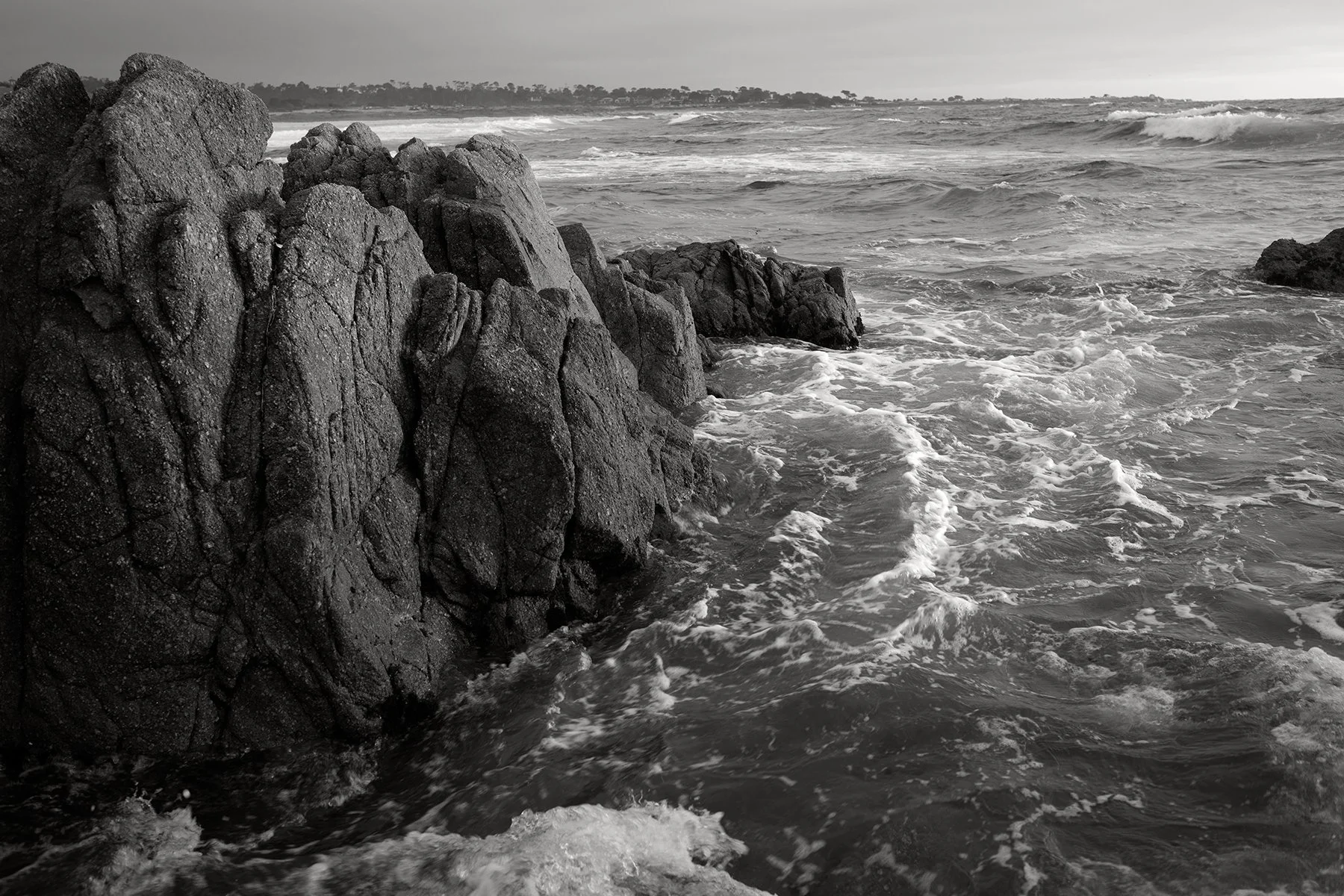
Asilomar, July 2026
I have been going to the tide pools and rocky shores of Asilomar for more than 30 years. This one is from the most recent trip there.
“Near the shore after leaving Oceanside.” Photograph of coastal North San Diego County from the 1880s. From the Huntington Digital Library: https://hdl.huntington.org/digital/collection/p15150coll2/id/12006/rec/7
Near the shore after leaving Oceanside (1888)
This is a photograph from the Huntington Digital Archive that I stumbled across while I was working on a recent draft for a paper about the long-term coastal histories of California. I was searching for images of Oceanside, California, which was one of the case studies mentioned in the draft, and I found this one.
It’s from the 1880s. It’s part of a small collection of photographs that someone put together after a trip through parts of Southern California.
Read MoreImage 1: Point Sur in Big Sur, California. July 22, 2025. Photo: Ryan Anderson.
Coastal Rephotographic Project: Point Sur
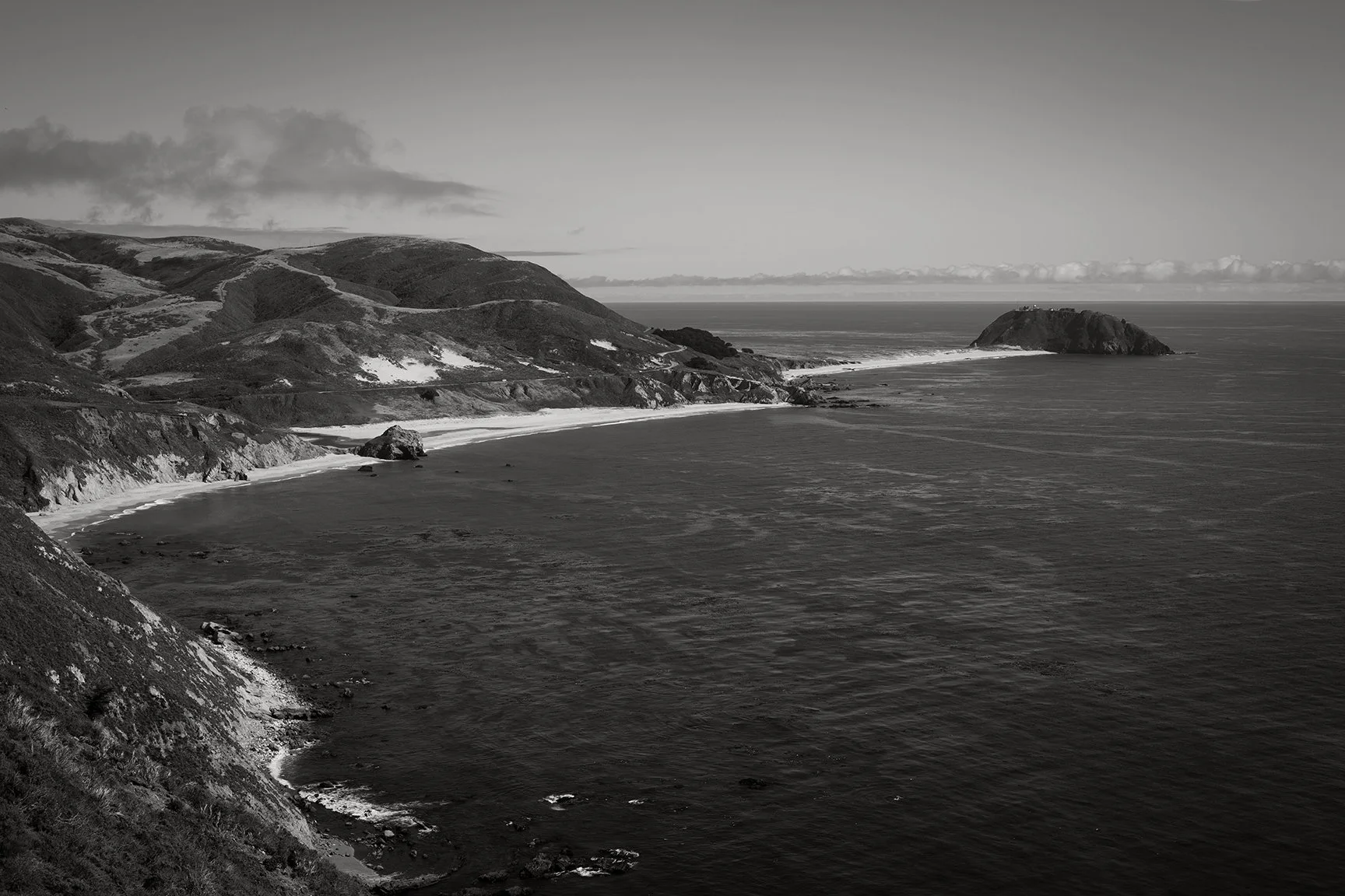
Last week I got the chance to do a little more location scouting for my coastal rephotographic project. This time I got to check out one of my favorite sites along the Big Sur Coast, which is the view of Point Sur. I have always loved this particular spot because of the many photographers who stopped and made photographs here. Brett Weston is at the top of my personal list. In fact, it’s this image, from his book Voyage of the Eye, that has always been one of my favorites.
Read MoreImage taken in May 2024.
Failed Seawall, Cabo Pulmo 2024
Seawalls and other forms of armoring or ‘hard’ stabilization are common responses to shoreline loss and coastal erosion. Seawalls can last for decades, but it depends on how they are built and what kinds of forces they are up against. It’s pretty common for a lot of seawalls to fail within a relatively short period of time. This image shows a stretch of beach in Cabo Pulmo that has seen a lot of erosion and numerous attempts to stop that erosion via seawalls and riprap. This particular seawall failed about a decade ago and its remnants have been sinking into the sand ever since. It shows one of the long-term and often unintended consequences of not-so-well-planned coastal armoring.
Kyle Brown standing next to his Chevrolet truck on Highway One Big Sur, Monterey County, California, Photo by Lewis Josselyn (5x7 film negative # 71-001-BS 0180.). Source: Monterey County Historical Society.
HIghway One in Big Sur (1926)
This is a photograph of Highway One in Big Sur from 1926. It was taken by the photographer Lewis Josselyn (1883-1964), who took thousands of great images of the Monterey and Big Sur region. He was also the official photographer for the Forest Theater in Carmel-by-the-Sea. I first learned about Josselyn’s work when I met the photographer and archivist Pat Hathaway in his little shop in Monterey around 1999-2000. Hathaway had an amazing and extensive collection of historical photographs. Now that he has passed away, this collection is now housed at the Monterey County Historical Society.
Nepenthe patio photographed by Morley Baer circa 1949.
Nepenthe by Morley Baer (1949)
We just had a chance to head down the coast to Big Sur for the first time in a while. This included a couple trips to Nepenthe, which is one of my favorite places of all time. When we got back home I looked into some of the histories of the restaurant and came across this image by the great photographer Morley Baer. This was taken in 1949 when the big old oak tree was still on the patio. I found the image here.
Figure 1. Left: Arch at what is now Steamer Lane in Santa Cruz, taken in 1887. Right: Same location in 2006, taken by Gary Griggs and Deepika Shrestha Ross.
Site check: Steamer Lane in Santa Cruz, California
Yesterday I had a chance to drop by Steamer Lane in Santa Cruz for a quick site check. Figure 1 shows what it used to look like here. In the photo from 1887, you can see the arch that used to be there. I love how people used to climb up onto those things and have their photograph taken for posterity. By 2006, the arch had collapsed and only a piece of it was still left. That bit of rock is still there today, but it’s worn down in the past 18 years. Here’s what it was looking like yesterday:
Figure 2. Steamer Lane, 8/26/2024. Photo by Ryan B. Anderson.
If you compare with the images in Figure 1, I wasn’t in the right spot. The horizon line is too high. I needed to move down just a little lower, and probably a bit to the left. The tide was rising and already at about 3.5 plus feet and banging around on those rocks, so that wasn’t possible. The lighting is also off—it looks to me like the 1887 and 2006 images were shot in the morning. And of course the I need to use a closer lens—I shot this with a 35mm lens and it looks like something around a 50mm would be much closer to the 1887 and 2006 images. So when I go back I need to make sure to get the tide, time, and lens right. Still, always good to get a chance to get out for a site check.
Figure 1. Left: Photograph of the natural bridge at Wilder Ranch, taken in 1900. Right: The same location rephotographed by Gary Griggs and Deepika Shrestha Ross in 2006.
Location Scouting for the Coastal Rephotographic Project: Wilder Ranch
When Mark Klett and company undertook their ‘Third View’ project, they revisited and rephotographed 110 sites in the US west. I have a similar project in mind for the California coast, and one logistical issue will be choosing my own sites to revisit. Part of the decision-making rests upon the kinds of changes and stories I’d like to tell. Ideally, I’d like to have sites that exhibit a range of coastal landscapes, from those that have changed very little over time to those that have undergone extensive change (whether from natural forces, human intervention, or a combination of both).
A good place to start, of course, is locally. I’ve like the image of the old natural bridge at Wilder Ranch (Figure 1, left). This was taken around 1900 apparently. I’d like to find out who the photographer was, if possible. This image was included in the book by Griggs and Ross that I mentioned in my last post. They rephotographed the same site about 100 years later in 2006 (Figure 1, right).*
This one is easy to relocate and rephotograph, since I’ve been there several times in the past and it’s on a well-known coastal trail. I guess the main question is whether I’d like to lug along a view camera as well just for fun. I do like the idea of using relatively similar equipment for at least some of the sites I rephotograph…even though some of my friends and colleagues think this is kind of insane.
*Figure 1 comes from this post by good friend and colleague Gary Griggs.
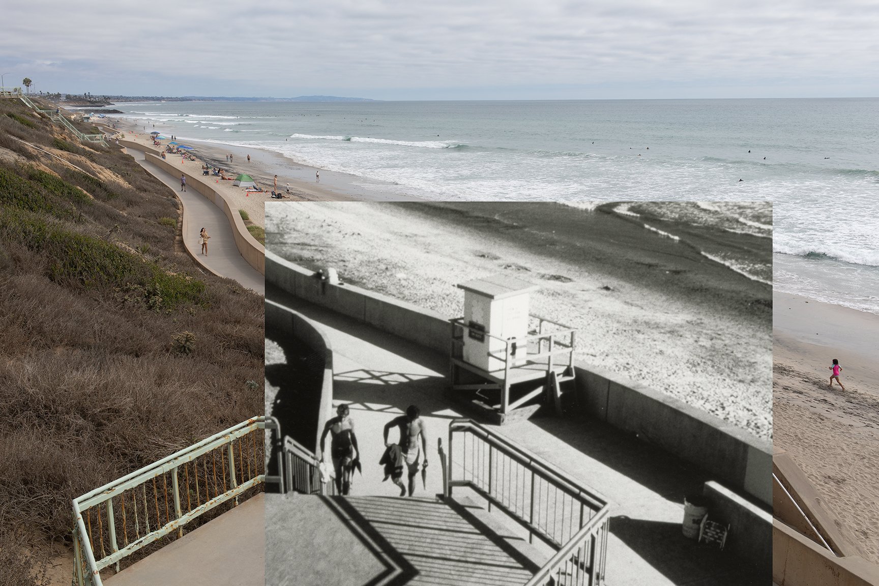
View of Terramar and the old power plant in Carlsbad, California in 1998.
Coastal Rephotographic Project: Terramar 1998
A few years back I started working on a coastal rephotographic project. The basic idea here is to use rephotographic methods and comparative historical photography as a way to explore and document the impacts of coastal erosion, sea level rise, and coastal adaptation in California. This idea draws inspiration primarily from Mark Klett’s 1977-1979 rephotographic survey project and the follow up ‘Third View’ project that included Byron Wolfe, Kyle Bajakian, Toshi Ueshina, and Michael Marshall. I’ll also be building upon similar local work up here on the Santa Cruz coast by Gary Griggs and Deepika Shrestha Ross.
I started working on this project in early to mid 2019. Long story short, this project had to be put on the back burner until now. A few things came up, including the Covid-19 pandemic, that made it necessary to put the whole thing on hold.
So I’m getting back to it.
Read MoreNap Lajoie, 2015. Library of Congress. Lajoie hit .426 in 1901.
Revisiting Gould on the death of .400 hitting
Last summer I wrote a series on Anthrodendum about beaches and baseball. I plan to do a bit more of the same this summer. Considering everything that’s going on in the world these days, this may be a retreat into escapism, and I’ll own that. Of course, baseball isn’t immune to the politics, inequalities, and complexities of humanity by any means (see this recent series by the journalist Jerry Brewer, for starters), but it’s still possible to find moments of respite here and there.
Baseball is good like that, at least for me. But what’s funny is that I often end up ‘taking a break’ by watching or going to baseball games–and then end up thinking through all kinds of things by thinking about baseball. What a total social scientist move. So much for the break!
Read MoreSauer on the Seashore
One of my current projects is a look into humanity’s histories along the edge of the sea. Much of my recent work has been about contemporary coastal issues, but I’m also interested in the coastal question from a longer-term perspective. Which is why it’s been nice to be working with some of my colleagues in archaeology lately. I just got back from a short research trip to the Cape Region of Baja California Sur for a coastal archaeology and anthropology project there—more on that soon.
Regarding the long-term coastal question, these days it’s a lot more common—and acceptable—to think about coasts and shorelines as important dimensions of early human migrations and dispersals. But that wasn’t always the case.
Read MoreGrant Jun Otsuki on "Reconstructing the Anthro Blogosphere with RSS"
Thanks to Lorena Gibson (who blogs over at AnthroPod) for pointing me toward Grant Jun Otsuki’s post about the anthro blogosphere and RSS. Here’s a selection from Grant’s post, which I highly recommend reading in full:
To start, let me pour one out for Anthrodendum, the anthropology blog that may not have started it all, but which was for many the one pre-social media hub for anthropology online. When I was a graduate student, it was invaluable for me as a resource for keeping in tune with the conversations taking place in American anthropology, and played no small part in my decision to do a PhD in anthropology. It also inspired the work that a scrappy group of then graduate students did to imagine what the Society for Cultural Anthropology could do online. Thanks to all involved.
Be sure to read the rest of the post here. It’s worth it. If you don’t know what RSS is, this is the post for you. There’s a lot of older tech out there that still works very well and, as Grant explains, RSS feeds can be a valuable tool for rebuilding the online anthro community we’ve lost in recent years. Grant also shares a downloadable OPML file that will allow you to follow 90 plus anthro blogs via NetNewsWire. Thank you for all your work on this Grant!
Anthro Blog Resurvey: The Blogroll
In the interest of sharing, archiving, and a bit of redundancy, here’s the list of anthro blogs and other resources that I have compiled over on Anthrodendum:
SITES FROM THE 2017 LIST THAT ARE STILL ACTIVE (77/188):
Aidnography. From the About page: “My name is Tobias Denskus and I am an Associate Professor in Development Studies in the School of Arts and Communication at Malmö University in Sweden. I am co-coordinating our MA in Communication for Development, an online blended learning program that for more than 20 years has brought together hundreds of students from all over the world in our Glocal Classroom.”
All Tomorrow’s Cultures. A site run by Samuel G. Collins: “I’m a professor of anthropology at a mid-sized, state university in Maryland, USA. You can see my homepage here.”
Allegra Lab. From the About page: “Allegra began in 2013 as a small group of renegade anthropologists creating a voice for themselves in the margins of the neoliberal academy. Today, it has become a veritable movement emboldening a large number of anthropologists and other academics to enliven the “dead space” between standard academic publication and fast moving public debates. Allegra maintains that this space is where intellectual innovation happens at its best. No great thinkers ever emerged from the quarantined space of academic disciplines where the polished aesthetic of writing for one’s colleagues (and national frameworks to evaluate excellency) takes priority over the viscerality of the issue at hand. Instead, from Rigoberta Menchù to Marx, bell hooks to Arendt, Fanon to Foucault and many others, intellectuals targeted their thinking directly at the conflicts and injustices they saw around them.”
Read MoreTadeo's magic stairs
Image 1: Seawall repairs. Carlsbad, California. December 2021. Photo: Ryan B. Anderson.
Structural anthropologies
Some structural anthropology, but of a different sort:
There’s a place called Terra Mar.* It’s this point of land that sticks out into the sea. Back in the 1980s and 1990s, I knew it was covered with ‘fake’ rock or concrete. It just was. I didn’t really know why or think about it much. It looks different to me these days, with different eyes. It’s a hodgepodge of shotcrete and other methods for making artificial walls. All to try to protect against erosion and shoreline loss. It’s an endless task. It works, for a while (see Image 1 above).
These kinds of habits and patterns result in complicated, problematic, and sometimes hazardous spaces. The seawalls at Terramar slowly degrade, fail, and break apart over time. They only last so long. There’s a similar situation in Pleasure Point, California, where I have also done fieldwork (see image 2).
That seawall, which is expected to last about 50 years, will eventually result in a shoreline with almost no beach left at all. The seawall, which was built about 10 years ago, has already started to fail here and there. There are places where fragments and rebar litter the beach. In one case, a local surfer was impaled on rusty rebar as he tried to get back to the shore. During recent storms, lifeguards had to rescue surfers who got trapped and could not get in safely because of large waves and tides.
Image 2: Pleasure Point in 2005 (left) and 2021 (right). The new seawall was finished in 2012. Photo: Ryan B. Anderson.
These are the tensions. The shorelines people know, and the shorelines they expect. The beaches, homes, values, and livelihoods they hope to protect. These kinds of structures—seawalls, riprap, jetties, groins—are attempts to hold such values in place.
And, in the end, there are the shorelines we’re left with in the meantime—eroding, changing, degrading, sometimes dangerous, and in a seemingly constant state of repair and upkeep. Like that seawall at Terramar. All of this, all of these hopes and associated material structures, are pitted against the realities of coastal processes, of saltwater, tides, time.
*This is a slightly modified excerpt from my presentation at the AAA meetings this past month in Toronto as part of the ‘theorizing sea level rise’ session.